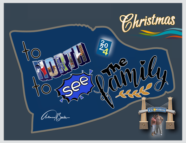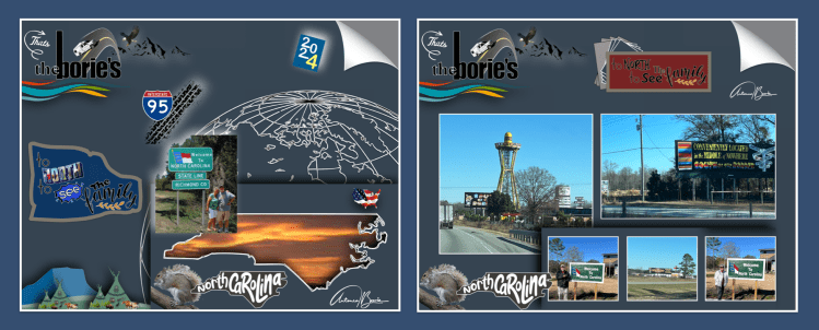
…olá!. Ainda se lembram da primeira parte do resumo desta viajem das “Christmas de 2024 ao norte”?. Cá vai a parte final!.
…hello!. Do you still remember the first part of the summary of this trip for “Christmas 2024 to the North”? Here’s the final part!
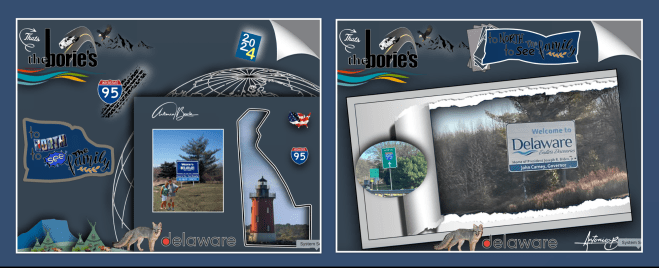
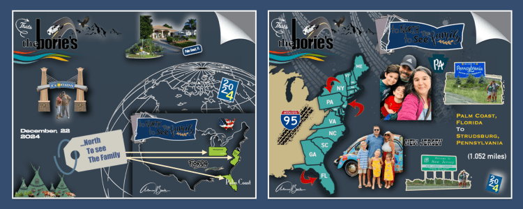
…entretanto entrámos no estado de Delaware, viajando apenas por uma pequena parte deste pequeno estado do Meio Atlântico dos EUA, que fica em uma península marcada por praias com dunas que margeiam o Oceano Atlântico, o Rio Delaware e a Baía de Delaware!.
…however, we entered the state of Delaware, traveling only through a small part of this small state in the Mid-Atlantic USA, which is located on a peninsula marked by beaches with dunes that border the Atlantic Ocean, the Delaware River and the Delaware Bay!.
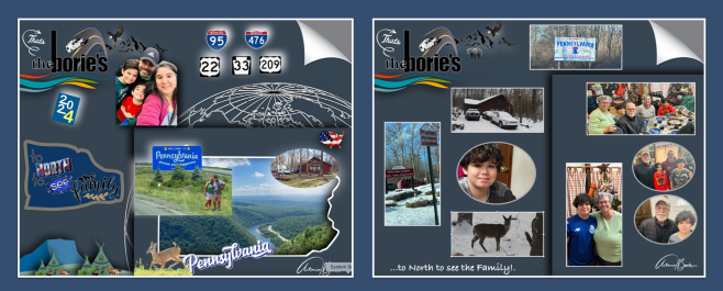
…desviando-nos para norte, entrámos no estado de Pennsylvania, onde parte do seu território é montanhoso, abrangendo as regiões do Meio-Atlântico, Nordeste, Apalaches e Grandes Lagos dos USA!. A Pennsylvania desempenhou um papel vital e histórico na Revolução Americana e na busca bem-sucedida pela independência de o Império Britânico, hospedando o Primeiro e o Segundo Congresso Continental na Filadélfia que formou o Exército Continental e nomeou George Washington como seu comandante no ano de 1775, e adotou por unanimidade a Declaração de Independência no ano seguinte!.
…turning north, we enter the state of Pennsylvania, where part of its territory is mountainous, covering the Mid-Atlantic, Northeast, Appalachian and Great Lakes regions of the USA!. Pennsylvania played a vital and historic role in the American Revolution and the successful quest for independence from the British Empire, hosting the First and Second Continental Congresses in Philadelphia that formed the Continental Army and named George Washington as its commander in the year 1775. , and unanimously adopted the Declaration of Independence the following year!.
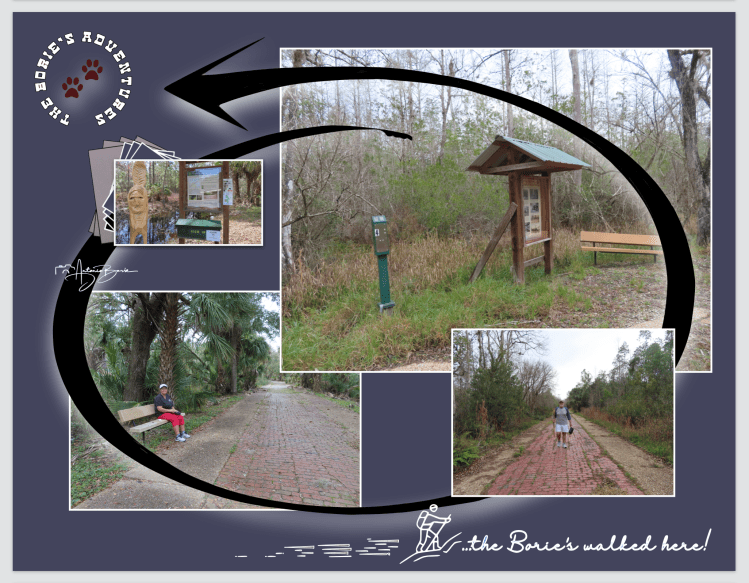
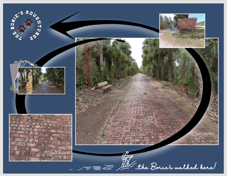
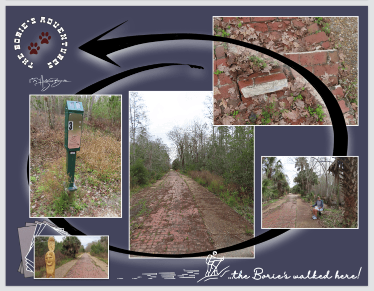
…por aqui passámos a véspera de Natal, no meio da montanha de Pocono, convivendo com parte da família e vendo cair a neve que cobria o chão da floresta!.
…here we spent Christmas Eve, in the middle of Pocono Mountain, spending time with family and watching the snow fall that covered the forest floor!.

…pela manhã e descendo a montanha, viajámos para a planície do estado de Nova Jersey, visitando e convivendo com a outra parte da família!.
…in the morning and descending the mountain, we traveled to the plains of the state of New Jersey, visiting and spending time with the other part of the family!.
…Nova Jersey é um estado do nordeste dos EUA com uma grande área de costa Atlântica!. Jersey City, do outro lado do rio Hudson, em Lower Manhattan, é o local do Liberty State Park, onde as balsas embarcam para a vizinha Ellis Island, com seu histórico Museu da Imigração e a icónica Estátua da Liberdade!. A costa de Jersey inclui cidades turísticas notáveis, como o histórico Asbury Park e Cape May, com seus edifícios vitorianos preservados!.
…New Jersey is a northeastern US state with a large area of Atlantic coastline!. Jersey City, across the Hudson River in Lower Manhattan, is the site of Liberty State Park, where ferries board to nearby Ellis Island, with its historic Immigration Museum and iconic Statue of Liberty!. The Jersey Shore includes notable tourist towns such as historic Asbury Park and Cape May, with its preserved Victorian buildings!.
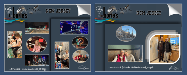
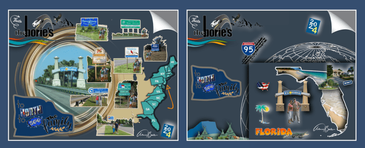
…na cidade de Elizabeth, onde vivemos por longos anos, quase todos os dias éramos convidados com gentileza a sairmos e ir-mos visitar amigos de longa data, todavia o tempo era pouco, mas deu para visitar o casal Natércia e Jorge, amigos de muitas dezenas de anos, confraternizando e recordando episódios de quando éramos jovens!.
…in the city of Elizabeth, where we lived for many years, almost every day we were kindly invited to go out and visit long-time friends, however time was short, but we were able to visit the couple Natércia and Jorge, friends from many decades, socializing and remembering episodes from when we were young!.
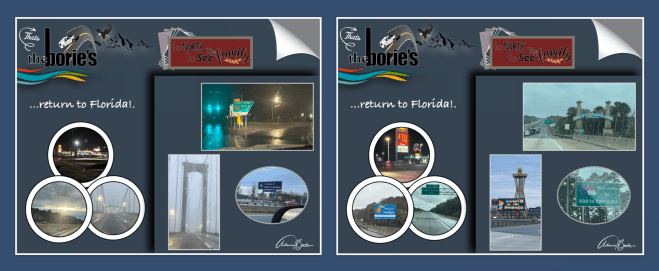
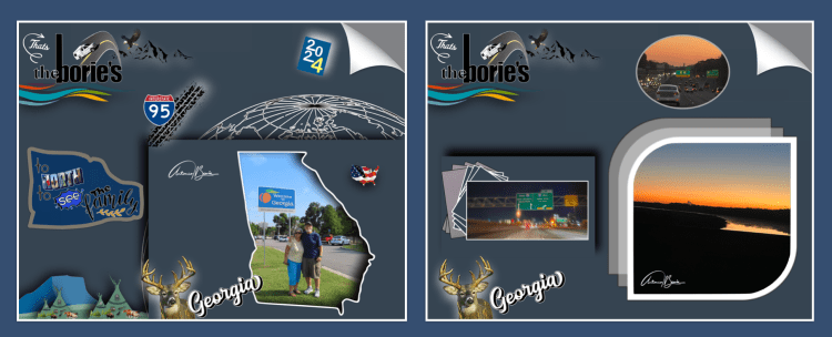
…e era tempo de regresso!. A viagem foi de alguma chuva gelada e nevoeiro, todavia, conforme íamos viajando para sul o tempo ia aquecendo, chegando à nossa casa na Florida onde sentimos alguma segurança…, um pouco livres deste mundo de pura solidão e onde o vazio enche quase tudo!.
…and it was time to return! The trip was filled with freezing rain and fog, however, as we traveled south the weather warmed up, arriving at our home in Florida where we felt some safety…, a little free from this world of pure loneliness and where emptiness fills almost everything!
Tony Borie.