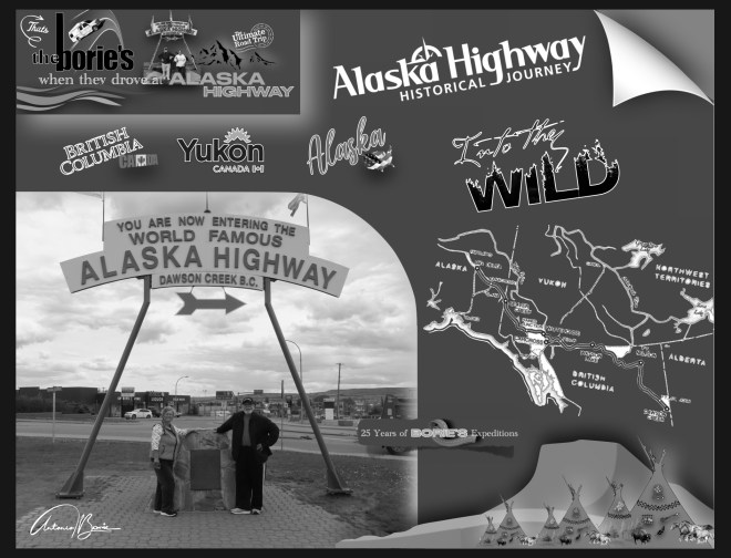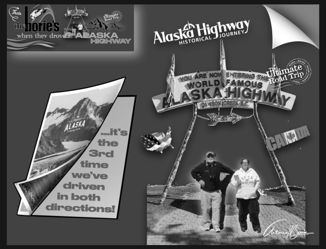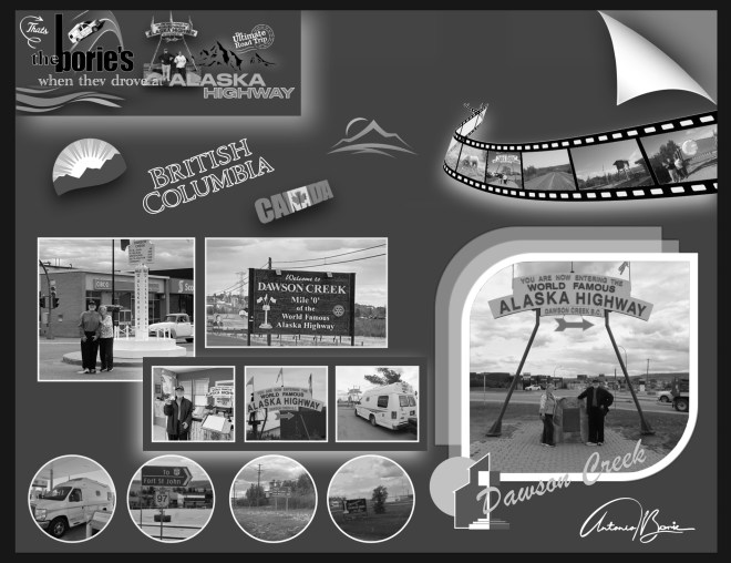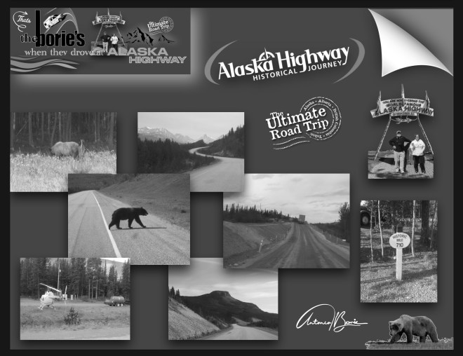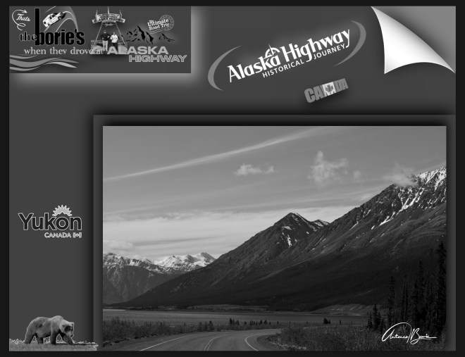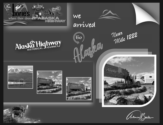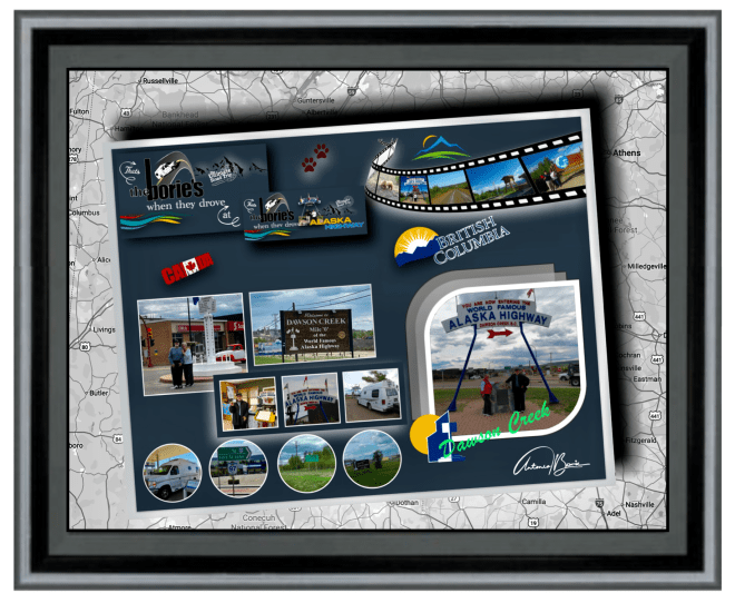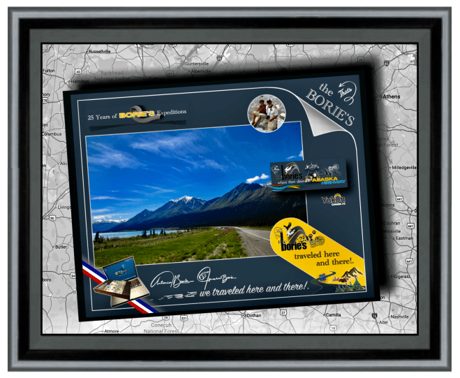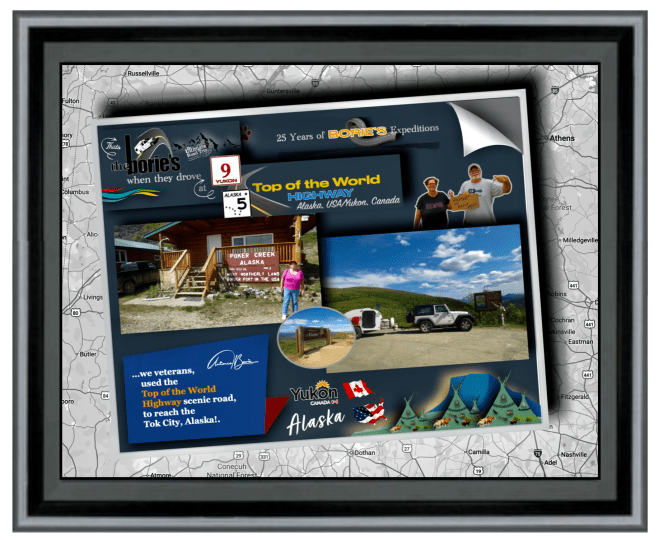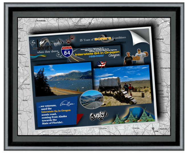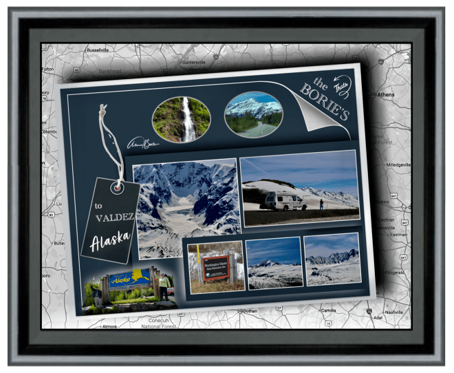
…embora vivendo no estado da Flórida, já algumas vezes aqui mencionámos as nossas aventuras lá pelo norte, depois de ultrapassar o “paralelo 48”, atravessando parte do território do Canadá, incluindo o lendário e histórico “Alaska Highway”, que serpenteia aquelas montanhas, planícies desertas, lagos e rios, das províncias de British Columbia e do Yukon até ao estado do Alaska, onde no período de alguns anos, viajando sempre por terra, por vezes atravessando rios em jangadas, já completámos “três expedições” a este estado!.
…although we live in the state of Florida, we have already mentioned our adventures up north a few times, after crossing the “48th parallel”, crossing part of the territory of Canada, including the legendary and historic “Alaska Highway”, which winds through those mountains, deserted plains, lakes and rivers, from the provinces of British Columbia and Yukon to the state of Alaska, where in the period of a few years, always traveling by land, sometimes crossing rivers on rafts, we have already completed “three expeditions” to this state!
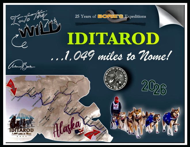
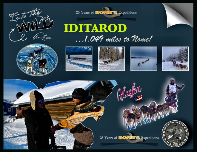
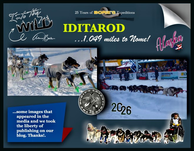
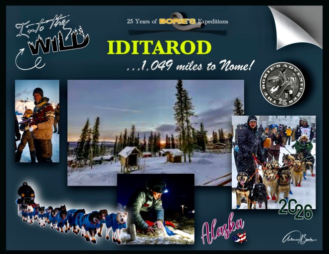
…como tal, é frequente escrever sobre o estado do Alaska e continuar a receber notícias do que por lá se passa!. Vamos recolhendo conteúdos de diversas fontes de informação e da comunicação social, a quem agradecemos as notícias e as fotos, que acompanharam esta histórica corrida, que tomámos a liberdade de construir um arranjo com as fotos e alguns conteúdos e publicar no nosso blog, que este ano deu pelo nome de “Iditarod, 1049 miles to Nome” , ou seja, isto é um pequeno resumo de tudo o que gentilmente nos vão informando, o que muito agradecemos!.
…as such, I often write about the state of Alaska and continue to receive news about what is happening there!. We are collecting content from various sources of information and the media, and we are grateful for the news and photos that accompanied this historic race, which we took the liberty of creating an arrangement with the photos and some content and publishing on our blog, which this year we called “Iditarod, 1049 miles to Nome”, in other words, this is a small summary of everything that you have kindly informed us about, which we are very grateful for!.
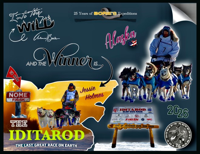
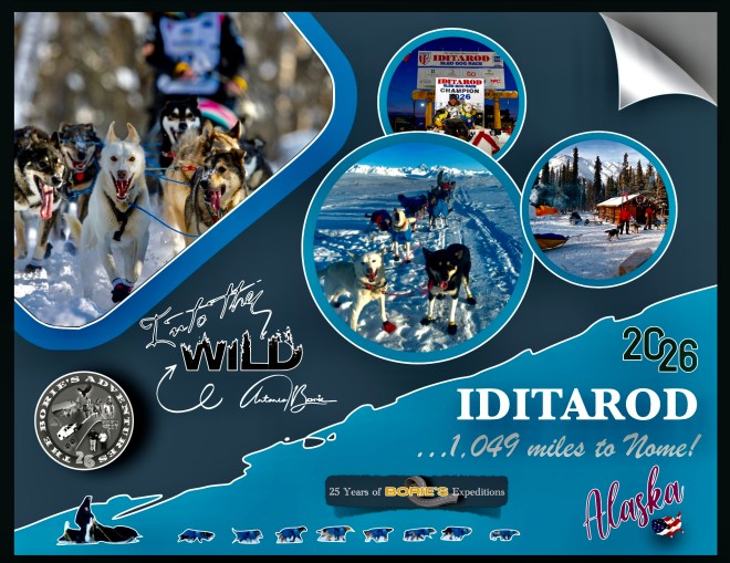
…assim, podemos ler que o “musher” (condutor de um trenó puxado por cães), Jessie Holmes, que para esta histórica corrida levou 16 cães, (em cada etapa usava 12, 13 ou 14), que puxavam o seu trenó, atravessou o “Burled Arch do Iditarod” na distante cidade de Nome, quase ao cair do crepúsculo, passando sob o arco às 21h32, após 9 dias, 7 horas, 32 minutos e 51 segundos, levantando os dois braços enquanto o seu time descia a Front Street sob os aplausos de algumas centenas de fãs reunidos perto da rampa de chegada, continuando a ser o campeão desta histórica corrida de cães de trenó, pois já no ano passado foi ele o vencedor!.
…thus, we can read that the “musher” (driver of a dog sled), Jessie Holmes, who for this historic race took 16 dogs, (in each stage he used 12, 13 or 14), who pulled his sled, crossed the “Burled Arch of the Iditarod” in the distant city of Nome, almost at dusk, passing under the arch at 9:32 pm, after 9 days, 7 hours, 32 minutes and 51 seconds, raising both arms as his team walked down Front Street to the applause of a few hundred fans gathered near the finish ramp, continuing to be the champion of this historic sled dog race, as last year he was the winner!.
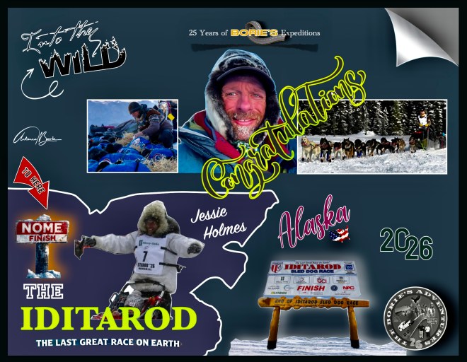
…parabéns a Jessie Holmes e à sua equipe de cães, liderada por Zeus, de 3 anos, e Polar, de 8 anos, por vencer o “Iditarod, 1049 miles to Nome”, que no final, e depois de abraçar e distribuir bifes gigantescos pelos seus cães, emocionado disse que: “é uma bênção estar aqui!. Fiquei muito grato e agradecido por ser recebido em todas essas comunidades e por estar em todo este lindo país com a equipe de cães mais incrível que já vi”!.
…congratulations to Jessie Holmes and her team of dogs, led by Zeus, 3 years old, and Polar, 8 years old, for winning the “Iditarod, 1049 miles to Nome”, who at the end, and after hugging and distributing gigantic steaks to her dogs, emotionally said that: “it’s a blessing to be here!. I was so grateful and grateful to be welcomed into all of these communities and to be across this beautiful country with the most amazing team of dogs I have ever seen!”.
…embora tenha vencido de forma convincente, Holmes disse que ainda teve momentos de extrema dificuldade, incluindo encontrar condições de 40 graus abaixo de zero perto de Bear Creek, nos primeiros dias da corrida, no entanto e continuando, disse ainda: “Isso apenas prova que você não está competindo!. Você está correndo com os seus cães, fazendo o que é melhor para eles, e você tem que se ajustar à Mãe Natureza, porque ela governa e vai-nos humilhar, por mais orgulhosos que sejamos e por mais duros que nos sintamos, também nos sentimos muito humildes agora, e muito abatidos e derrotados, porque ela, a Mãe Natureza, é que vence”!.
…although he won convincingly, Holmes said he still had moments of extreme difficulty, including encountering conditions of 40 degrees below zero near Bear Creek, in the early days of the race, however, and continuing, he said: “It just proves that you’re not competing!. You’re running with your dogs, doing what’s best for them, and you have to adjust to Mother Nature, because she rules and will humble us, and as proud as we are and as tough as we feel, we also feel very humble now, and very dejected and defeated, because she, Mother Nature, wins”!.
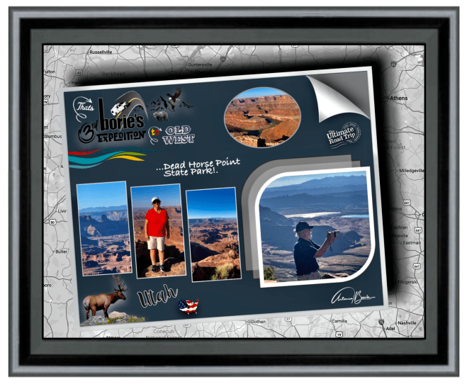
…mas, vamos explicar um pouco o que é o “Iditarod, 1049 miles to Nome”?. É uma corrida anual de Cães de Trenó de longa distância, a exemplo do que foram a “Santa Fé Trail”, a “Oregon Trail”, a “Califórnia Trail”, a “Appalachian Trail” ou a “Mormon Trail”, (trilhas antigas dos pioneiros, das quais já tivemos o privilégio de percorrer alguns pequenos troços do seus percursos) e, a sua distância varia de ano para ano, mas oficialmente a rota tem à volta de 1.100 milhas de comprimento!
…but, let’s explain a little what the “Iditarod, 1049 miles to Nome” is? It is an annual long-distance Sled Dog race, like the “Santa Fé Trail”, the “Oregon Trail”, the “California Trail”, the “Appalachian Trail” or the “Mormon Trail”, (old pioneer trails, of which we have had the privilege of traveling some small sections of their routes) and, its distance varies from year to year, but officially the route is around 1,100 miles long!..
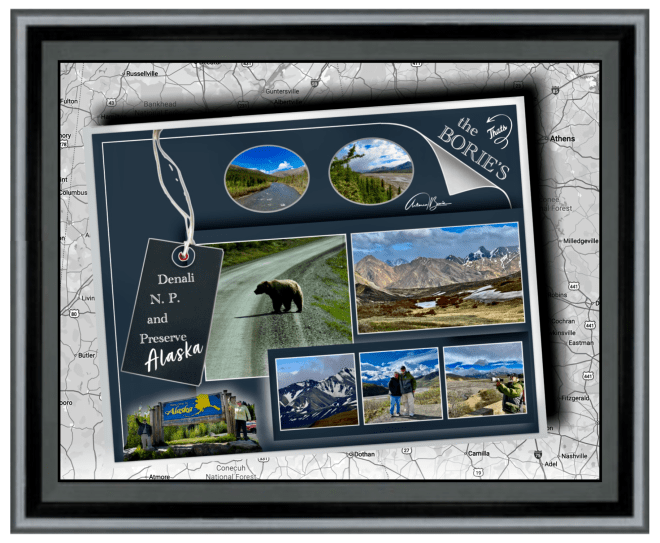
…e lá no estado do Alaska, onde já estivemos em alguns lugares estratégicos junto do seu percurso, embora sendo época de verão, portanto com pouca neve, caminhando por pequenos troços que fazem parte do que foi a história de pioneiros, que no século XIX, atravessaram não só planícies na procura da sua terra prometida, como também a “tundra” (região ártica, plana e sem árvores com o subsolo permanentemente congelado), próximo do Mar de Bearing, à luz do “sol da meia-noite”!.
…and there in the state of Alaska, where we have already been to some strategic places along its route, although it is summer time, therefore with little snow, walking along small sections that are part of what was the history of pioneers, who in the 19th century, crossed not only plains in search of their promised land, but also the “tundra” (Arctic region, flat and treeless with the subsoil permanently frozen), close to the Bearing Sea, in the light of the “midnight sun”!.
…este evento começou no ano de 1973, como sendo um evento para testar os melhores “mushers” com as suas equipes de cães de trenó, mas evoluiu para a corrida altamente competitiva de hoje, onde este ano dá pelo pomposo nome de “Iditarod, 1049 miles to Nome” e, não é mais do que uma homenagem ao que faziam os pioneiros pesquisadores de ouro do século dezoito ou dezanove, que se aventuravam para leste, quando desembarcavam na cidade de Nome, no Mar de Bearing!.
…this event began in 1973, as an event to test the best “mushers” with their teams of sled dogs, but has evolved into the highly competitive race of today, where this year goes by the pompous name of “Iditarod, 1049 miles to Nome” and is nothing more than a tribute to what the pioneering gold researchers of the eighteenth or nineteenth century did, who ventured east, when they disembarked in the city of Nome, in Sea of Bearing!.
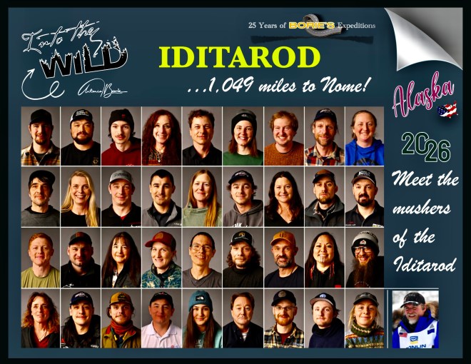
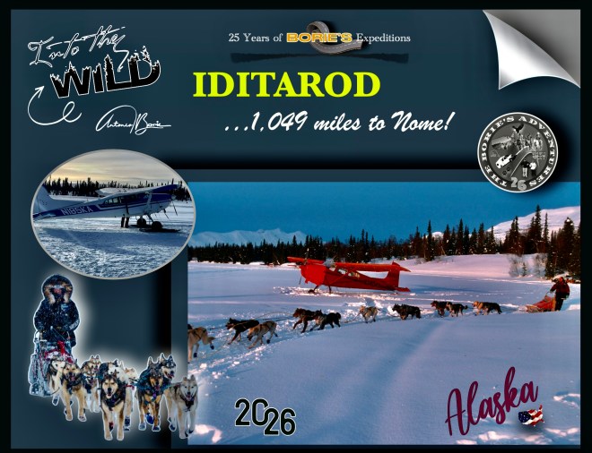
…este ano, realizou-se a 54ª corrida, que também chamam da “última grande corrida na Terra” e que à partida incluiu 37 “mushers”, alguns internacionais!. Estes “mushers”, são condutores de cães experientes em terreno gelado, enfrentando uma cansativa jornada de mais de 1.000 milhas num terreno áspero e selvagem do Alaska, incluindo o rio Yukon congelado, o traiçoeiro gelo do Mar de Bering e duas cadeias de montanhas distintas!. Também encontram riscos ambientais adicionais que incluem ventos fortes, possíveis nevascas e frio extremo que colocam tanto os condutores quanto seus cães de trenó em alto risco de queimaduras pelo frio!.
…this year, the 54th race took place, which they also call the “last great race on Earth” and which initially included 37 “mushers”, some international!. These “mushers” are experienced dog handlers in icy terrain, facing a grueling journey of more than 1,000 miles through harsh, wild Alaskan terrain, including the frozen Yukon River, the treacherous ice of the Bering Sea and two distinct mountain ranges! They also encounter additional environmental hazards that include high winds, possible blizzards, and extreme cold that place both mushers and their sled dogs at high risk of frostbite!
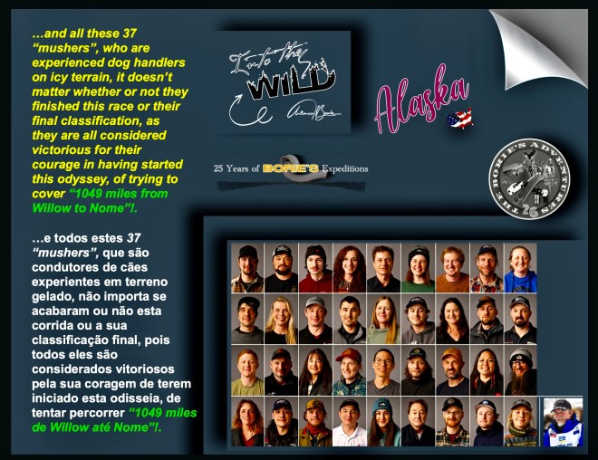
…e todos estes 37 “mushers”, que são condutores de cães experientes em terreno gelado, não importa se acabaram ou não esta corrida ou a sua classificação final, pois todos eles são considerados vitoriosos pela sua coragem de terem iniciado esta odisseia, de tentar percorrer “1049 miles de Willow até Nome”!.
…and all these 37 “mushers”, who are experienced dog handlers on icy terrain, it doesn’t matter whether or not they finished this race or their final classification, as they are all considered victorious for their courage in having started this odyssey, of trying to cover “1049 miles from Willow to Nome”!.
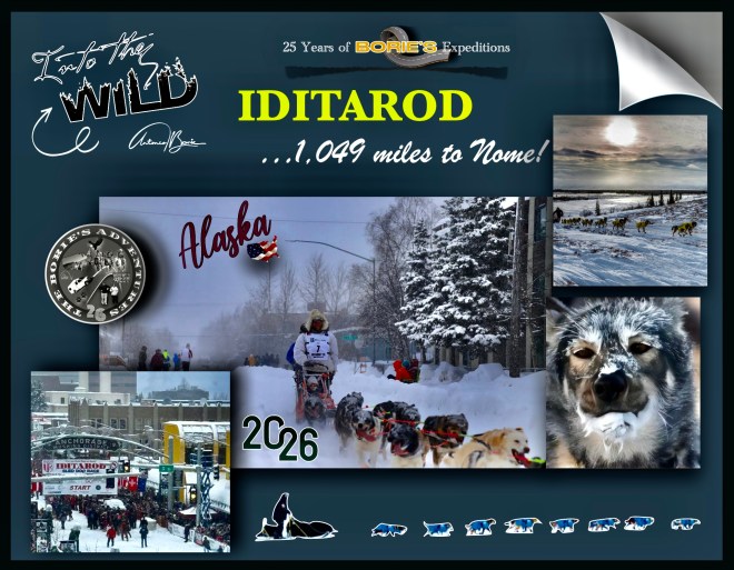
…este ano, esta competição, que no dia 8 de Março, reiniciou oficialmente em Willow, um local localizado a algumas milhas a noroeste da cidade de Wasilla, ao longo da estrada George Parks, embora o seu início cerimonial tivesse ocorrido no centro da cidade de Anchorage, exigindo que os participantes naveguem por esses elementos enquanto gerenciam uma equipe de pelo menos 12 a 14 cães de trenó!.
…this year, this competition, which on March 8, officially restarted in Willow, a location located a few miles northwest of the city of Wasilla along George Parks Road, although its ceremonial start took place in downtown Anchorage, requiring participants to navigate these elements while managing a team of at least 12 to 14 sled dogs!.
…tanto os organizadores como os veteranos, enfatizam que o percurso continua a ser um teste de resistência, onde as equipas também devem enfrentar a exaustão física de viajar a velocidades médias de 7 ou 8 milhas/hora em terrenos gelados, e claro, é notório que a travessia do gelo marinho de Norton Sound que tornou Seppala e Togo tão famosos há um século, onde muitos dos mais experientes “mushers”, vão aproveitar por serem as corridas mais mágicas da trilha, que é o transporte do interior do rio Yukon, através das colinas de Nulato até à costa do Mar de Bering!.
…both organizers and veterans emphasize that the route continues to be a test of endurance, where teams must also face the physical exhaustion of traveling at average speeds of 7 or 8 miles/hour on icy terrain, and of course, it is clear that the crossing of the sea ice of Norton Sound that made Seppala and Togo so famous a century ago, where many of the most experienced “mushers”, will enjoy as they are the most magical races of the trail, which is the transportation of the interior of the river Yukon, through the Nulato Hills to the Bering Sea coast!.
…e todos dias durante esta “última grande corrida no Earth”, havia notícias de como tudo ia decorrendo, por exemplo: o veterano musher, Jessie Holmes foi o primeiro a chegar ao posto de controle McGrath às 20h03, ganhando o prémio Alaska Air Transit Spirit of Iditarod, onde a comunidade McGrath compartilha laços profundos com Iditarod, e o prémio reflete essa conexão, apresentando luvas de pele de castor com miçangas Athabaskan em pele de alce, feitas à mão por Loretta Maillelle de McGrath, junto com um chapéu de pele de castor feito por Rosalie Egrass, também de McGrath!.
…and every day during this “last great race on Earth”, there was news of how it was going, for example: veteran musher, Jessie Holmes was the first to reach the McGrath checkpoint at 8:03 pm, winning the Alaska Air Transit Spirit of Iditarod award, where the McGrath community shares deep ties with the Iditarod, and the award reflects that connection, featuring beaver fur gloves with Athabaskan elk skin beads, made handmade by Loretta Mailllelle of McGrath, along with a beaver fur hat made by Rosalie Egrass, also of McGrath!.
…ou por exemplo: “Paige Drobny está a liderar a corrida para o posto de controle na aldeia de Ruby!. Neste momento ela está a 22 milhas de Ruby!. Jessie Holmes vem a 11 milhas atrás na 2.ª posição!. Algumas equipas estão descansando os cães na trilha, na milha 266!. O clima, agora é de 34 graus e esta noite vai estar nublado com chuviscos de neve a baixo de 23 graus, com ventos de 20 MPH e a chance de neve é de 40%”!.
…or for example: “Paige Drobny is leading the race to the checkpoint in Ruby’s village!. Right now she is 22 miles from Ruby!. Jessie Holmes is 11 miles behind in 2nd position! Some teams are resting their dogs on the trail, at mile 266!. The weather is now 34 degrees and tonight will be cloudy with snow drizzle below 23 degrees, with winds of 20 MPH and the chance of snow is 40%”!.
…outro exemplo: Jessie Holmes chegou ao posto de controle da aldeia de Unalakleet às 9h27 de domingo!. Como recompensa por ser o primeiro a ali chegar, recebeu um mergulhão esculpido à mão feito pelo artista Inupiaq Mark Tetpon e um prémio monetário em pepitas de ouro!.
…another example: Jessie Holmes arrived at the Unalakleet village checkpoint at 9:27 am on Sunday!. As a reward for being the first to arrive there, he received a hand-carved loon made by Inupiaq artist Mark Tetpon and a monetary prize in gold nuggets!.
…outras curiosidades na logística, como por exemplo: “incríveis voluntários, que são a espinha dorsal da “Última Grande Corrida da Terra”, ensacaram, paletizaram e adicionaram postagem a 1.500 fardos de palha na Air Land Transport, Inc. em Anchorage, que foram então enviados para os 22 postos de controle ao longo da Trilha Iditarod até Nome…, palha fresca estará esperando, dando a cada cão um lugar quente, seco e confortável para descansar, porque por aqui, os cães são prioridade!.
…other logistics tidbits, such as: “Amazing volunteers, who are the backbone of the “Last Great Race on Earth,” bagged, palletized and added postage to 1,500 bales of straw at Air Land Transport, Inc. in Anchorage, which were then shipped to the 22 checkpoints along the Iditarod Trail to Nome…, fresh straw will be waiting, giving each dog a warm, dry, comfortable place to rest, because by Here, dogs are a priority!.
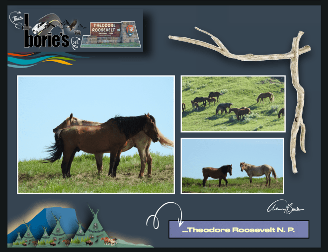
.…enfim, isto são curiosidades do estado do Alaska, a última fronteira!.
...anyway, these are interesting facts about the state of Alaska, the last frontier!
Tony Borie.