
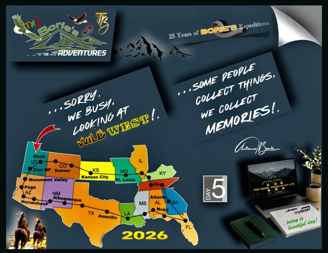
…viajar no estado do Colorado rumo ao oeste, pode ir desde as comunidades próximas da área metropolitana da cidade de Denver, até Palisade, Grand Junction ou Fruita, e é muito mais do que apenas uma viagem de um lugar para outro!. Realizá-la é…, acima de qualquer dúvida, uma excelente experiência!. Este trecho de estrada é de tirar o fôlego, oferecendo-nos um dos passeios mais belos dos USA e…, é muito mais do que apenas uma bela rota!.
…traveling in the state of Colorado heading west can range from communities close to the Denver metropolitan area, to Palisade, Grand Junction or Fruita, and is much more than just a trip from one place to another!. Carrying it out is…, beyond any doubt, an excellent experience! This stretch of road is breathtaking, offering us one of the most beautiful drives in the USA and…, it is much more than just a beautiful route!.
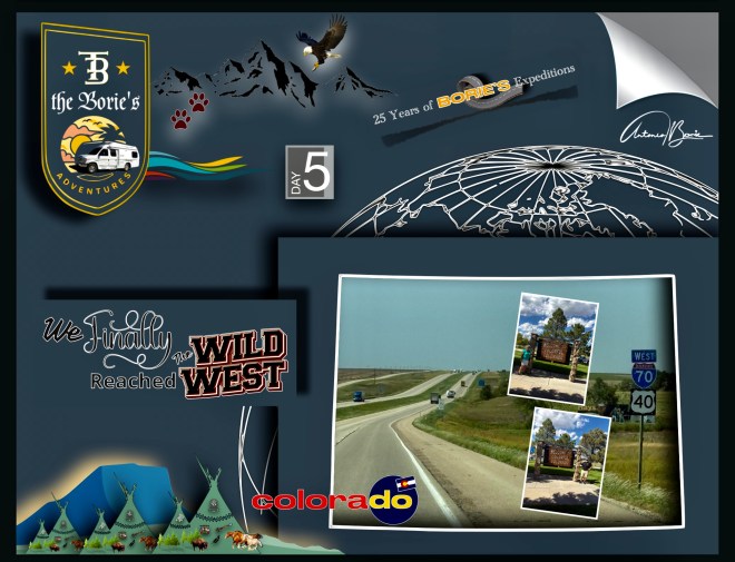
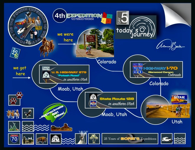
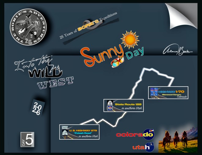
…e nós, estrategicamente ou não, depois de por simples acaso ter pernoitado num parque de RV, no cimo da Cordilheira Frontal das Montanhas Rochosas, viajámos por este corredor de montanha, através do Interstate 70, que nos mostra lindos cenários que vão passando por elevações que chegavam a 11.000 pés, e também por vários túneis, construídos para traçar a estrada através das Montanhas Rochosas!.
…and we, strategically or not, after by simple chance having spent the night in an RV park, at the top of the Front Range of the Rocky Mountains, we traveled through this mountain corridor, through Interstate 70, which shows us beautiful sceneries that pass through elevations that reached 11,000 feet, and also through several tunnels, built to trace the road through the Rocky Mountains!.
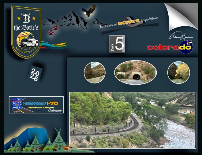
…tudo através de uma parte significativa do desfiladeiro, onde as pistas no sentido leste estendem-se em balanço sobre o Rio Colorado e as pistas no sentido oeste são suspensas em um viaduto vários metros acima do fundo do desfiladeiro, e ao longo deste percurso, a estrada abraça a margem norte do Rio Colorado, enquanto o Corredor Central da Ferrovia Union Pacific (antiga Ferrovia Oeste de Denver e Rio Grande) ocupa a margem sul!.
…all through a significant portion of the canyon, where the eastbound lanes cantilever over the Colorado River and the westbound lanes are suspended from an overpass several feet above the canyon floor, and along this route, the road hugs the north bank of the Colorado River, while the Central Corridor of the Union Pacific Railroad (formerly the Denver and Rio Grande West Railroad) occupies the south bank!.
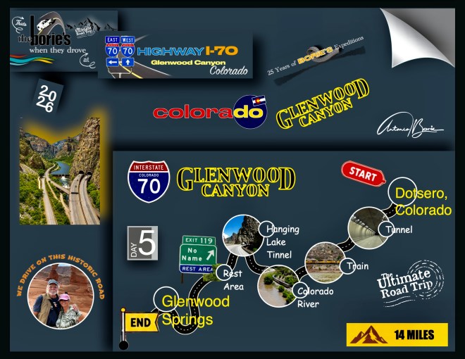
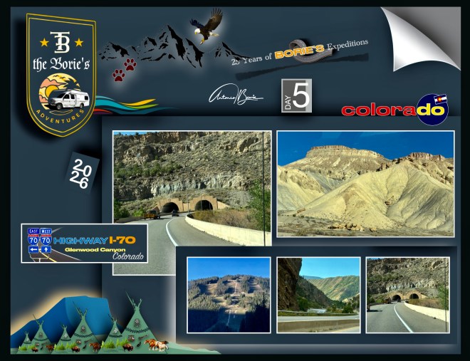
…dizem-nos que os departamentos de transporte federal e estadual elogiaram as conquistas de engenharia necessárias para construir esta estrada através dum estreito desfiladeiro, preservando ao mesmo tempo a sua beleza natural, existindo mesmo uma seção de aproximadamente 10 milhas de estrada que apresenta o Túnel Sem Nome, o Túnel do Lago Suspenso, o Túnel de Curva Reversa, 40 pontes e viadutos e algumas milhas de muros de contenção!.
…we are told that the federal and state transportation departments praised the engineering achievements necessary to build this road through a narrow gorge while preserving its natural beauty, with there even being an approximately 10-mile section of road that features the Nameless Tunnel, the Hanging Lake Tunnel, the Reverse Curve Tunnel, 40 bridges and overpasses, and a few miles of retaining walls!
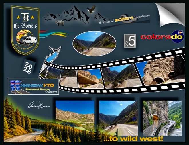
…e em alguns túneis, como o Eisenhower-Johnson, não é permitido parar, mas passar por esse sistema de túneis é bastante espetacular por si só, alguns atingindo uma altitude máxima de 11.158 pés!. Esses túneis estão entre os túneis veiculares mais altos do mundo, sendo também o ponto mais alto do sistema interestadual dos USA!.
…and in some tunnels, like the Eisenhower-Johnson, stopping is not permitted, but going through this tunnel system is quite spectacular in itself, some reaching a maximum altitude of 11,158 feet!. These tunnels are among the tallest vehicular tunnels in the world, and are also the highest point on the US interstate system!
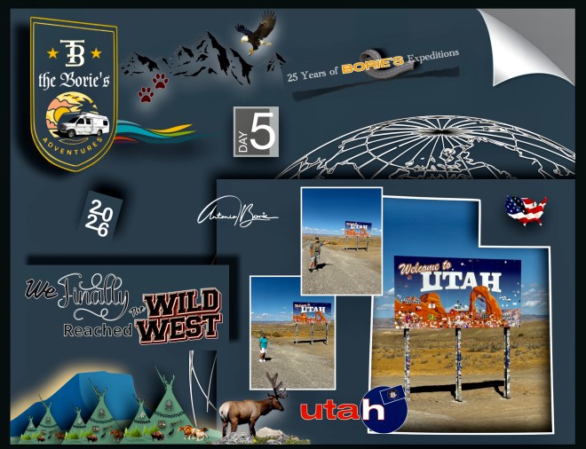
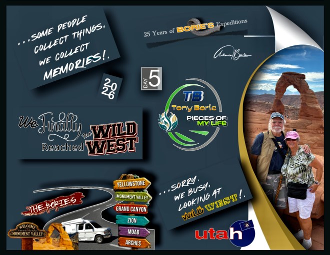
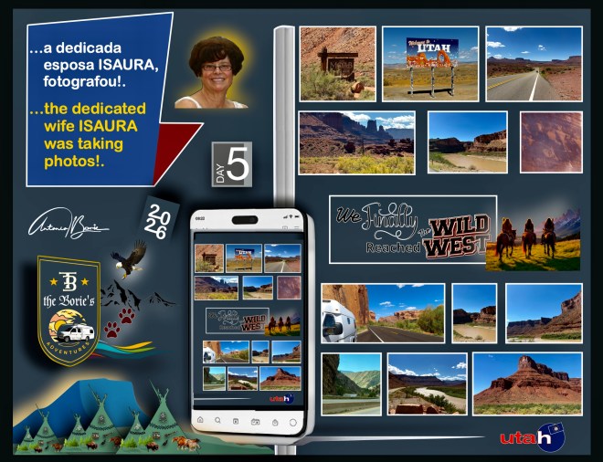
…até que chegámos ao estado do Utah, e sempre que viajamos pelo oeste, é quase obrigatório usarmos a State Route 128, que é uma estrada estadual de aproximadamente 45 milhas, no estado de Utah, onde toda a extensão da estrada foi designada como Scenic Byway no Alto Colorado River, como parte do programa Utah Scenic Byways!. Esta estrada também faz parte da Estrada Pré-Histórica de Diamantes de Dinossauros, como uma Via Nacional Panorâmica!.
…until we arrived in the state of Utah, and whenever we travel west, it is almost mandatory to use State Route 128, which is an approximately 45-mile state road in the state of Utah, where the entire length of the road has been designated as the Upper Colorado River Scenic Byway, as part of the Utah Scenic Byways program!. This road is also part of the Prehistoric Dinosaur Diamond Road, as a National Scenic Byway!.
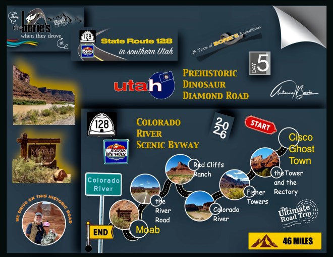
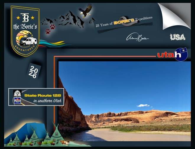
…hoje é quase usada como um passeio panorâmico e os residentes da região de Moab frequentemente se referem à SR-128 como “a estrada do rio”, porque o Rio Colorado, segue a seu lado em quase toda a sua extensão, que começa ao norte de Moab, através de um desfiladeiro estreito e íngreme, descrito como espetacular pela National Geographic, cujas paredes de arenito são recomendadas pela sua beleza em guias de férias de lugares tão distantes quanto a França ou a Alemanha!.
…today it is almost used as a scenic drive and residents of the Moab region often refer to the SR-128 as “the river road”, because the Colorado River follows it along almost its entire length, which starts north of Moab, through a narrow and steep gorge, described as spectacular by National Geographic, whose sandstone walls are recommended for their beauty in holiday guides from places as far away as France or Germany!.
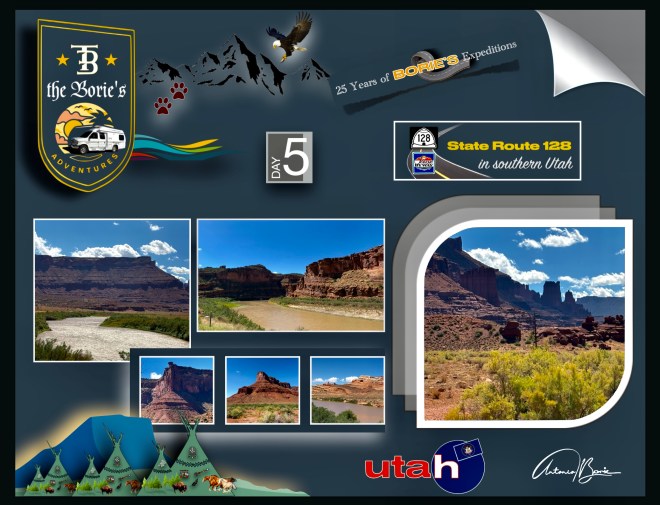
…além de estar listada no Registro Nacional de Lugares Históricos, porque no local da ponte Dewey, hoje os restos de uma cidade fantasma e que, no momento de sua construção era a segunda maior ponte suspensa a oeste do Mississippi, assim como a maior ponte suspensa em todo o estado de Utah até abril de 2008, quando foi destruída por um incêndio, tem cenários maravilhosos de desfiladeiros que se alargam sobre o rio Colorado!.
…in addition to being listed on the National Register of Historic Places, because at the site of the Dewey Bridge, today the remains of a ghost town and which at the time of its construction was the second longest suspension bridge west of the Mississippi, as well as the largest suspension bridge in the entire state of Utah until April 2008, when it was destroyed by fire, it has wonderful scenery of canyons that widen over the Colorado River!.
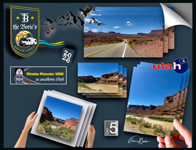
…e que, pelo menos na área do Red Cliffs Ranch (antigo Rancho Branco) foi o local preferido para filmes como Taza – Filho de Cochise, Rio Grande, Rio Conchose, Wagon Master, Batalha no Apache Pass, Cheyenne Autumn ou Ten Who Dare, assim como muitos comerciais de televisão, existindo mesmo um pequeno museu com algumas relíquias usadas entre outros, pelo actor John Wayne, quando por aqui vivia temporadas, como protagonista dos seus diversos filmes!.
…and that, at least in the area of the Red Cliffs Ranch (formerly Rancho Branco) was the favorite location for films such as Taza – Son of Cochise, Rio Grande, Rio Conchose, Wagon Master, Battle at Apache Pass, Cheyenne Autumn or Ten Who Dare, like many television commercials, there is even a small museum with some relics used by others, by actor John Wayne, when he lived here for seasons, as the protagonist of his various films!.
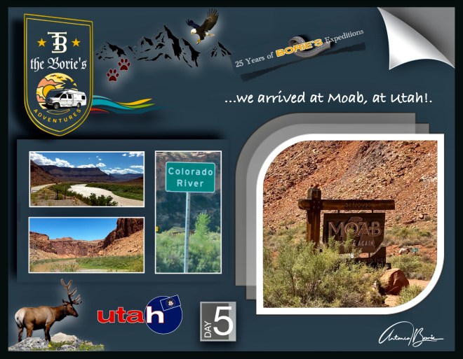
…estávamos no Moab, Utah, onde a aventura se pode esconder em uma qualquer ravina de rochas vermelhas do rio Colorado ou seus afluentes e…, como o dia estava com um céu quase azul e tinha sido passado viajando por estradas com cenário, continuámos!.
…we were in Moab, Utah, where adventure can be hidden in any red rock ravine of the Colorado River or its tributaries and…, as the day had an almost blue sky and had been spent traveling along scenic roads, we continued!.
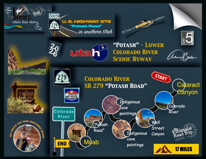
…aqui, estávamos mesmo em frente à SR 279 “Potash Road”, que é uma estrada que foi construída em 1962 para atender uma mina a sudoeste de Moab, sendo eleita uma das mais belas estradas abertas ao tráfego desde esse ano!. E, toda a sua extensão logo foi designada como Potash – Lower Colorado River Scenic Byway pela Legislatura do Estado de Utah, no entanto hoje, é conhecida localmente como “Potash Road”!.
…here, we were right in front of SR 279 “Potash Road”, which is a road that was built in 1962 to serve a mine southwest of Moab, being voted one of the most beautiful roads open to traffic since that year!. And, its entire length was soon designated the Potash – Lower Colorado River Scenic Byway by the Utah State Legislature, however today, it is known locally as the “Potash Road”!
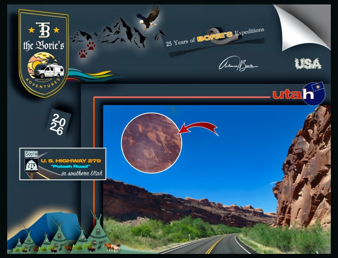
…começa logo ao norte de Moab, perto do limite sul do Parque Nacional Arches, seguindo pela margem norte do Rio Colorado e na verdade é sinuosa na maior parte de sua extensão, sendo vagamente paralela a um ramal da Ferrovia Denver e Rio Grande construída ao mesmo tempo e com o mesmo propósito de servir à mina, apresentando um túnel de 1,59 milhas que contorna a maioria das curvas serpentinas do Rio Colorado!.
…begins just north of Moab, near the southern boundary of Arches National Park, running along the north bank of the Colorado River and is actually winding for most of its length, being loosely parallel to a branch of the Denver and Rio Grande Railroad built at the same time and for the same purpose as serving the mine, featuring a 1.59-mile tunnel that bypasses most of the serpentine bends of the Colorado River!.
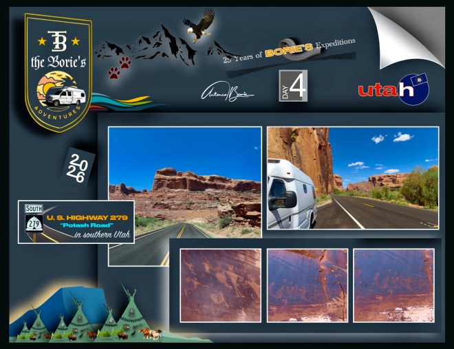
…durante este trajecto podemos parar e admirar pegadas de dinossauros, pinturas rupestres indígenas e caminhar por trilhas que nos levam ao Parque Nacional Canyonlands ou ao Parque Estadual Dead Horse Point, passando por três arcos naturais nomeados, Corona Arch, Bow Tie Arch e Jug Handle Arch!.
…during this route we can stop and admire dinosaur footprints, indigenous cave paintings and walk along trails that take us to Canyonlands National Park or Dead Horse Point State Park, passing through three named natural arches, Corona Arch, Bow Tie Arch and Jug Handle Arch!.
…as “pinturas rupestres indígenas”, (Petroglifos), que tivemos a sorte de fotografar, estão inscritas na rocha, num lugar designado por “Wall Street Canyon”, mesmo na beira do rio Colorado, onde no ano de 1963, a Parade Magazine realizou a terceira competição anual para a estrada mais pitoresca aberta ao tráfego naquele ano e…, o hoje “Potash Road”, foi um dos quatro finalistas da competição sendo eleita uma das mais belas estradas abertas ao tráfego!.
…the “indigenous cave paintings”, (Petroglyphs), which we were lucky enough to photograph, are inscribed in the rock, in a place called “Wall Street Canyon”, right on the edge of the Colorado River, where in 1963, Parade Magazine held the third annual competition for the most picturesque road open to traffic that year and…, today’s “Potash Road”, was one of the four finalists in the competition, being chosen as one of the most beautiful roads open to traffic!.
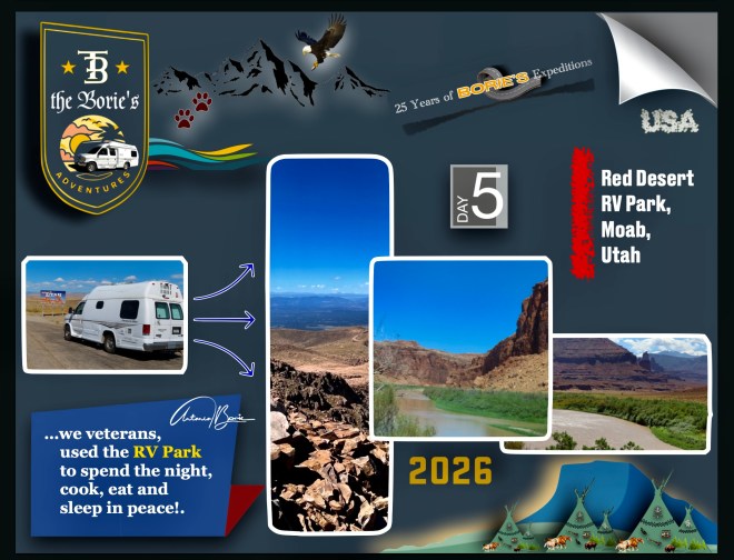
…o dia estava a chegar ao fim quando acampámos num parque de RV, no Moab, propriedade de uma pessoa que já nos conhecida de outras ocasiões, que estava superlotado, mas partilhou connosco o seu espaço de residente!.
…the day was coming to an end when we camped in an RV park, in Moab, owned by a person who already knew us from other occasions, which was overcrowded, but shared his resident space with us!.
Tony Borie.

